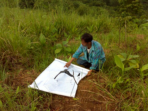
Like every year we are taking photographs of each individual tree on myforestfarm. It takes several days to make almost 2000 pictures of all trees. We are carrying a big print out of the map with us so that we can keep the overview. Later we put the pictures on google maps where all pictures of the individual trees can be viewed at their actual geographic position.
View the map
here.
(works best with Google Chrome browser)
No comments:
Post a Comment
Note: Only a member of this blog may post a comment.